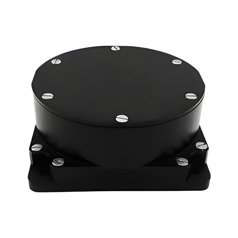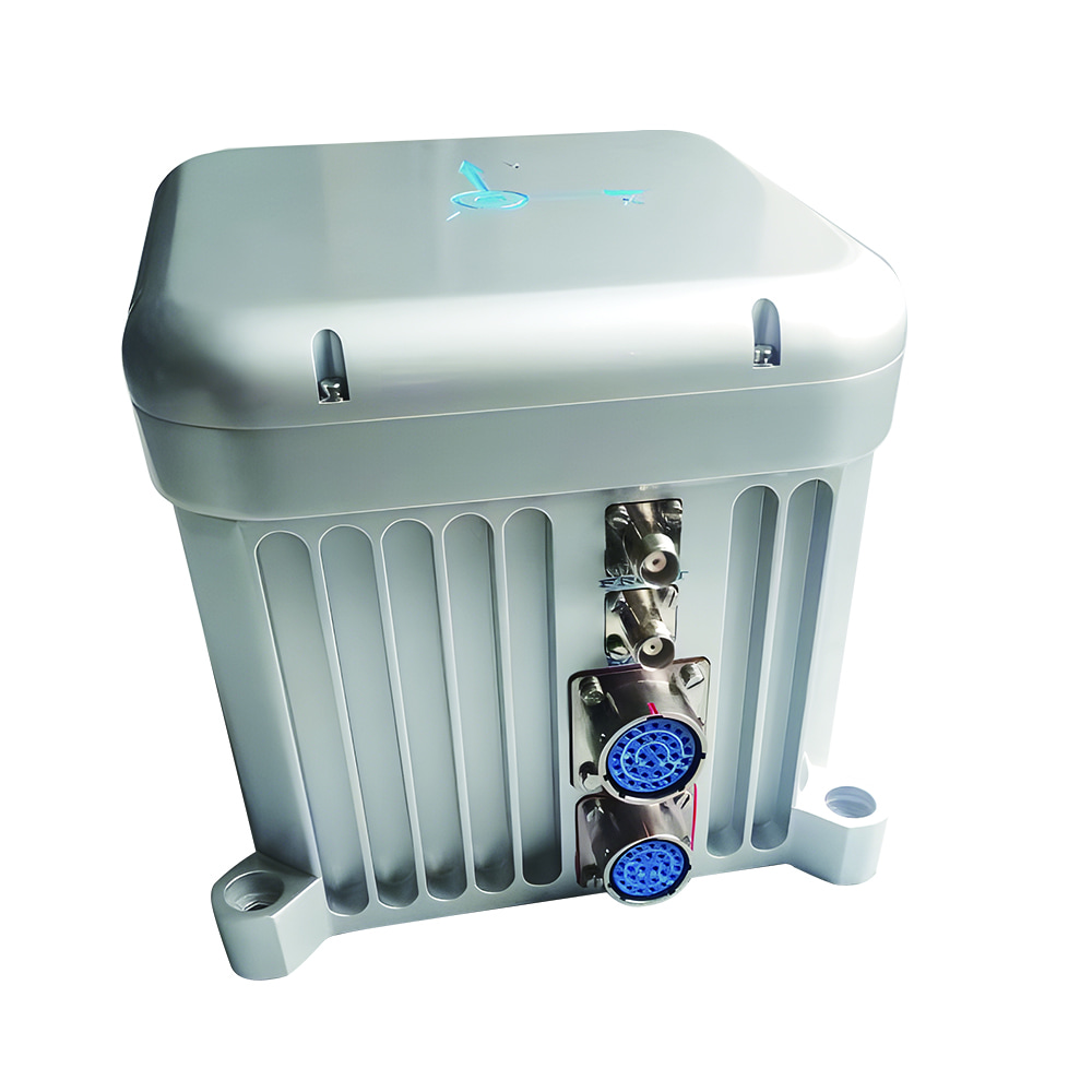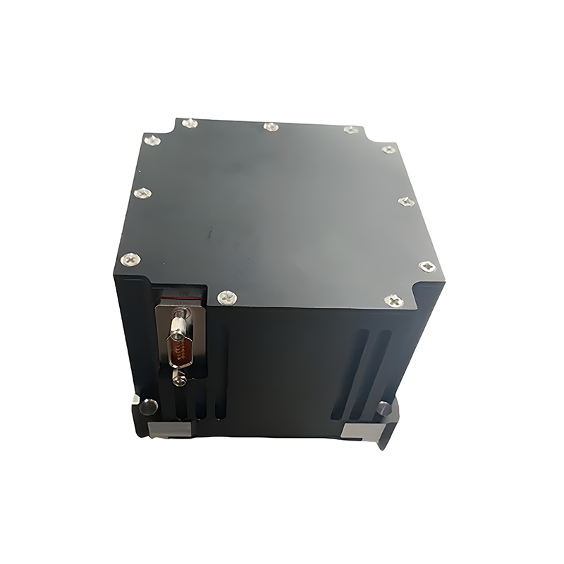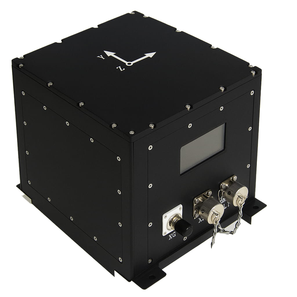
Sistema de navegación inercial de montaje fijo con giroscopio de fibra óptica M5700, apto para estudios marítimos.
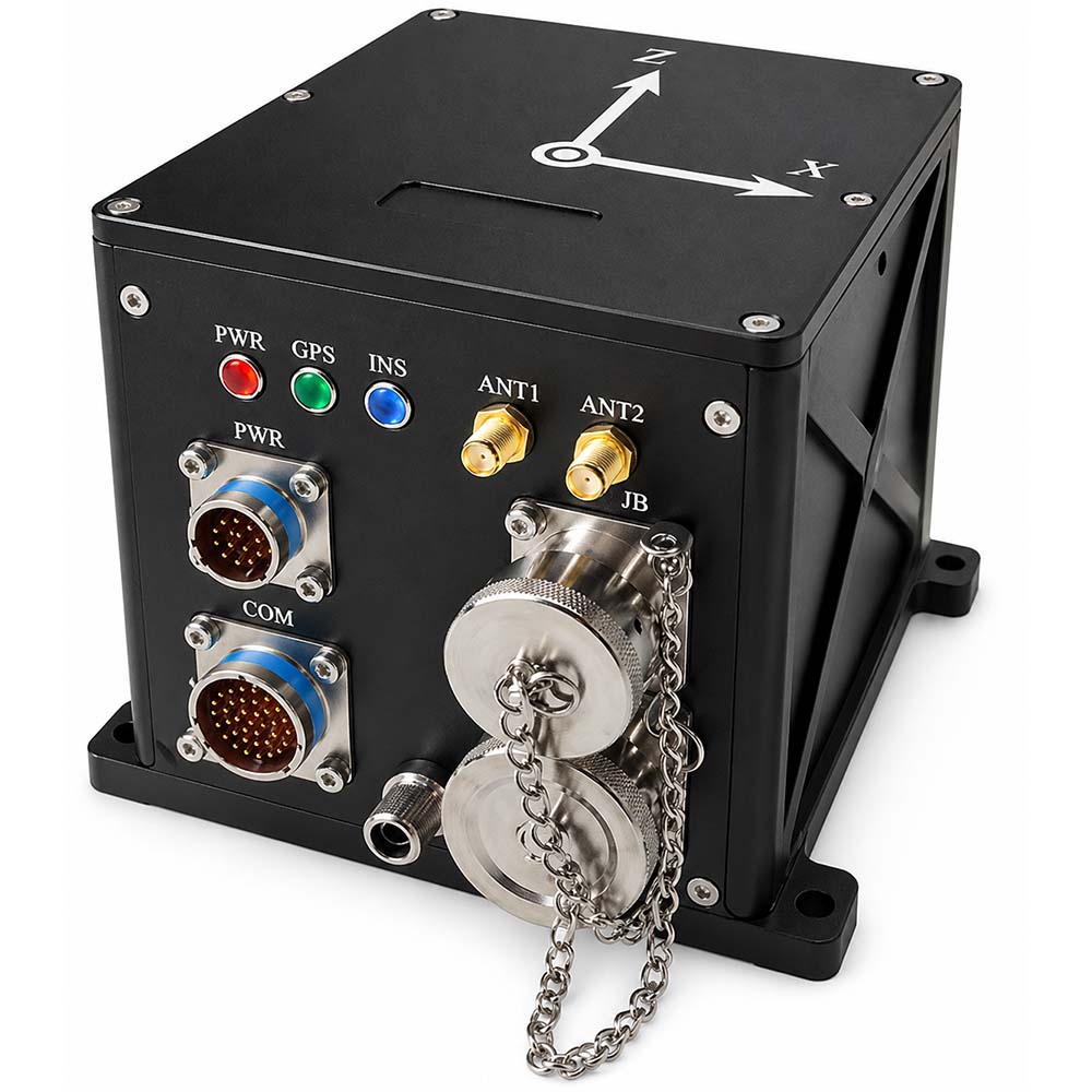
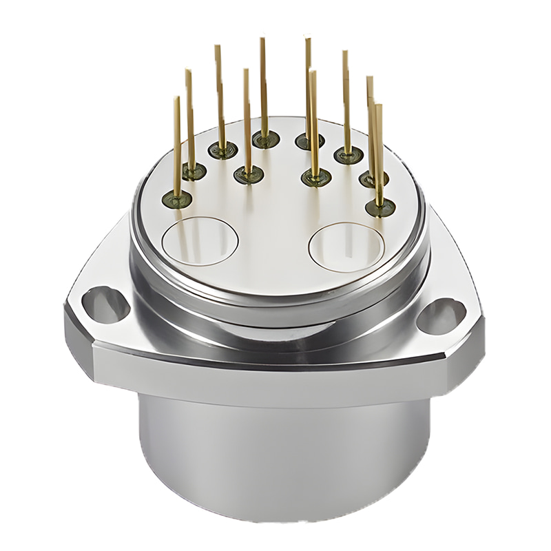
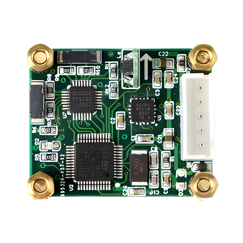
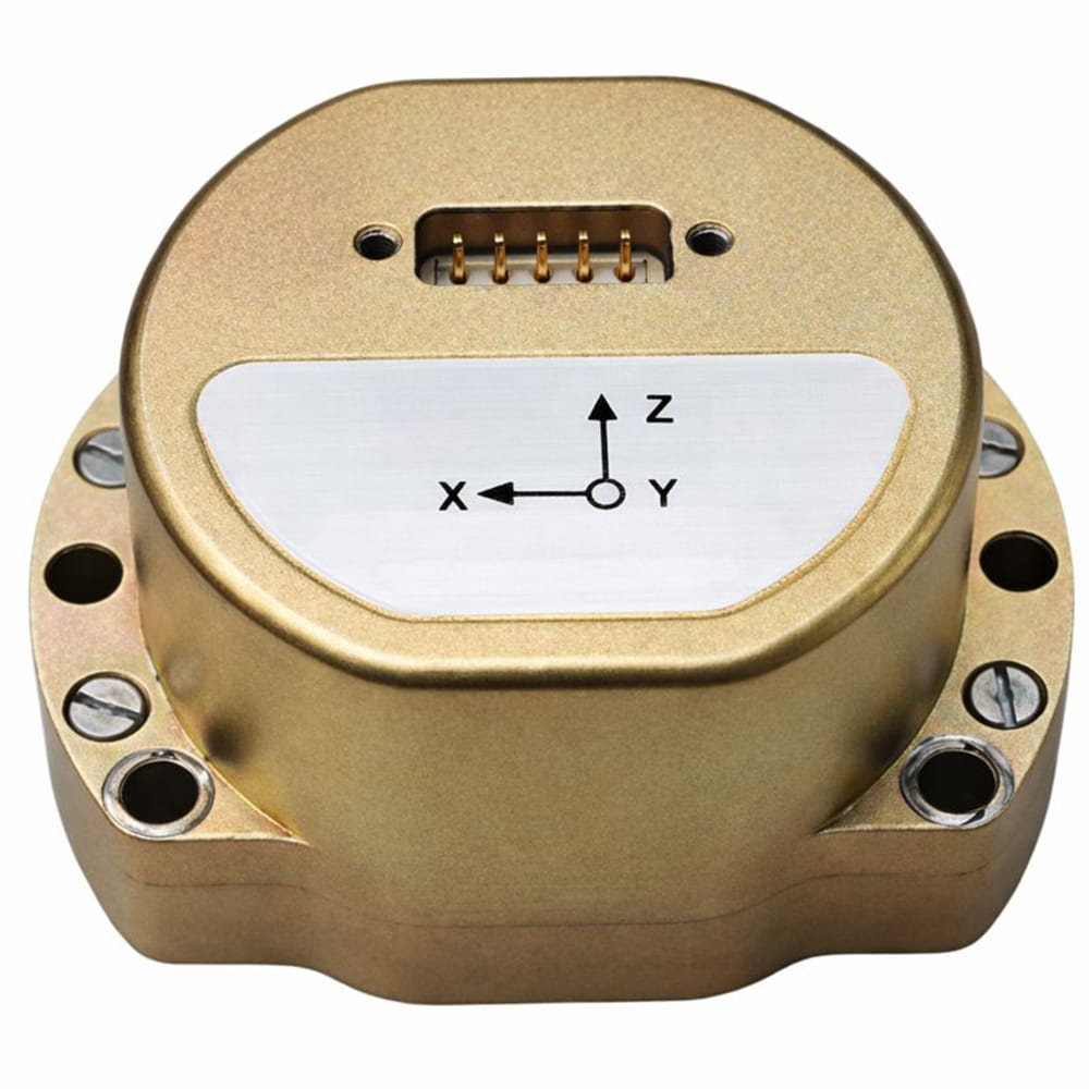
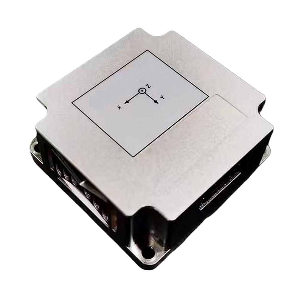
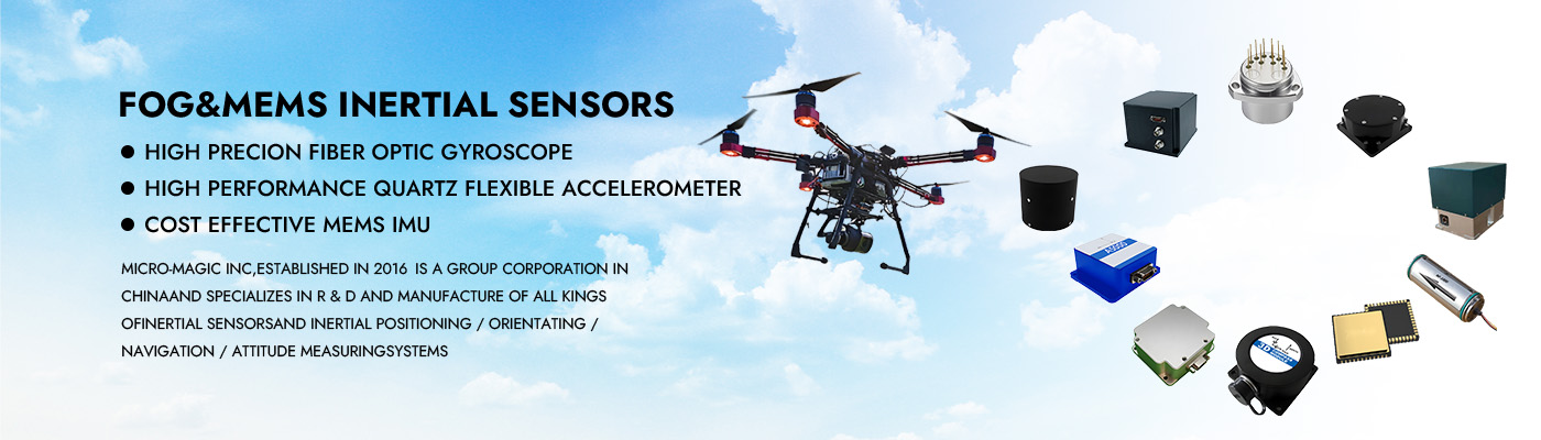
El sistema de navegación inercial de fibra óptica M5700 se compone principalmente de un giroscopio de fibra óptica integrado, un acelerómetro flexible de cuarzo, un módulo de alimentación, un módulo de adquisición y cálculo, un módulo de navegación por satélite, etc. Se caracteriza por su tamaño compacto, peso ligero y alta precisión, y es adecuado para UAVs pequeños y medianos, cápsulas fotoeléctricas, vehículos submarinos y otras aplicaciones. Sus principales características son las siguientes:
Tiene una alta precisión de orientación hacia el norte;
Inercia pura, combinación inercia/satélite, combinación inercia/DVL, combinación inercia/millas, combinación inercia/visión, brújula marina, etc.;
Cuenta con funciones como la búsqueda automática del norte, la alineación de la transmisión, la alineación de la base móvil asistida por satélite, el postprocesamiento de alta precisión y la medición del cabeceo;
Amortiguador incorporado, adaptable a entornos con vibraciones;
Tarjeta de memoria integrada, capaz de almacenar datos de medición, que se puede leer mediante puerto USB o de red;
Incluye múltiples protocolos de comunicación integrados, velocidad de transmisión del puerto serie y protocolo de salida configurable.
Dispone de múltiples interfaces como RS422, RS232, Ethernet, entrada/salida PPS, etc.
Temperatura de funcionamiento: -45 ℃~+60 ℃
Fuente de alimentación: 12V ~ 36V, consumo de energía < 15W
Número de pieza, :
M5700Pedido (MOQ) :
11. Especificaciones del producto
| Artículo | Parámetros técnicos | |
| Precisión de rumbo | Alineación estática: (1σ) "0,08°secφ" (1σ) | |
| Navegación integrada: 0,02° (1σ) | ||
| Retención por inercia pura: 0,02°/h (1σ) | ||
| Mantenimiento de navegación integrado: 0,01°/h (1σ) | ||
| Precisión de la actitud horizontal | Precisión de alineación: 0,005° (1σ) | |
| Navegación inercial pura: 0,02° (RMS) | ||
| Navegación integrada: 0,005° (1σ) | ||
| Precisión de la velocidad | 0,02 m/s (RMS, navegación integrada) | |
| 1,5 m/s (RMS, inercia pura en 1 h) | ||
| Precisión de posicionamiento | Horizontal ≤ 1,5 m, Altitud ≤ 2,5 m (RMS, posicionamiento satelital de punto único y navegación integrada, buena señal); | |
| Horizontal ≤ 1,5 cm + 1 ppm, Altitud ≤ 2,5 cm + 1 ppm (RMS, navegación integrada RTK por satélite, buena conexión) | ||
| 0,3% D (navegación combinada inercia/kilometraje, D es la distancia de conducción) | ||
| 0,3% D (navegación integrada inercial/DVL, D es la distancia recorrida, precisión DVL 0,3%) | ||
| 2 nm (CEP, inercia pura en 1 h) | ||
| Precisión de elevación | 5 cm o 5% H, lo que sea mayor. | |
| Tiempo de alineación | < 5 minutos (alineación de la base fija en el suelo) | |
| < 10 minutos (alineación de la base hidrostática en agua) | ||
| < 15 minutos (alineación de la base móvil) | ||
| Giroscopio | Rango de medición | 500°/s |
| Estabilidad de polarización cero | 0,02°/h (promedio de 10 s) | |
| Coeficiente de paseo aleatorio | 0,001°/h1/2 | |
| no linealidad del factor de escala | 10 ppm (1σ) | |
| Accel | Rango de medición | 30 g |
| Repetibilidad mensual del sesgo | 20 µg (1σ) | |
| Repetibilidad mensual del factor de escala | 20 ppm (1σ) | |
| Temperatura de funcionamiento | -45℃~60℃ | |
| Compatibilidad electromagnética | Cumplir con los requisitos de GJB151B | |
| Interfaz | Entrada/salida RS422, RS232, USB, Ethernet, PPS | |
| Fuente de alimentación | 24 V CC, adaptable a 12 V ~ 36 V | |
| Consumo de energía | <15W | |
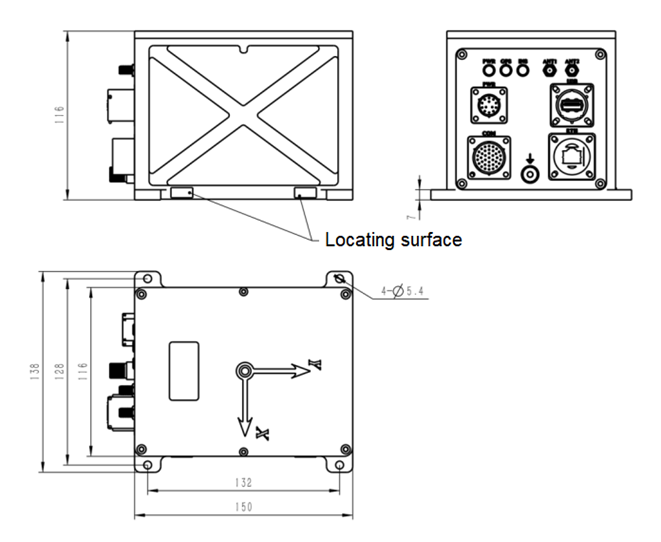
| Dimensiones externas | 150×116×116 mm (sin incluir conectores ni soportes de montaje) | |
| Peso | 2,6 kg | |
| Sin características destacadas | El módulo de posicionamiento por satélite interno o externo es opcional. | |
2. Dimensiones del producto

Xml política de privacidad blog Mapa del sitio
Derechos de autor @ Micro-Magic Inc Reservados todos los derechos.
 RED COMPATIBLE


 Español